Bosomtwe District
BACKGROUND OF BOSOMTWE DISTRICT
Ghana is a lower-middle income country in Western Sub-Saharan Africa with the population of 30.8 million per the 2020 population and housing census by Ghana Statistical Service. The Ashanti Region is one of the 16 administrative regions in Ghana, divided into 43 districts.

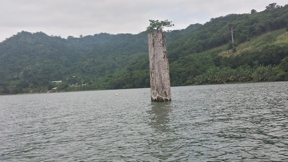
The Bosomtwe District in the Ashanti Region is named after one of only six meteoritic lakes in the world, Lake Bosomtwe, located within the community. The Bosomtwe District is located at the central part of the Ashanti Region and lies within latitudes 6° 24 South and 6° 43’ North and longitudes 1° 15’ East and 1° 46’ West. It is bounded on the north by Asokwa Municipal, on the east by Ejisu Municipal, on the south by Bekwai Municipal and Bosome - Freho District, and on the west by Atwima - Kwanwoma District.
The District has a land size of about 422.5 km2. It is the eleventh largest district in the Ashanti Region. There are a total of 67 settlements in the district and three (3) Area Councils (Kuntanase, Boneso and Jachie). The district capital, Kuntanase, is about 30km from Kumasi, the Regional Capital of Ashanti.
POPULATION OF BOSOMTWE AND ITS SURROUNDING DISTRICTS
| DISTRICTS | POPULATION SIZE |
|---|---|
| Bosomtwe | 165180 |
| Asokwa Municipal | 125642 |
| Atwima Kwanwoma | 234846 |
| Ejisu-Juabeng Municipal | 180723 |
| Bekwai Municipal | 201896 |
| Bosome Freho | 62259 |
Map of various Districts in Ashanti Region of Ghana, Bosomtwe District shaded in red ink.

SOCIOECONOMIC CHARACTERISTICS OF THE BOSOMTWE COMMUNITY
The area consists of three unique ecosystems, namely forest, wetlands, and mountains, contributing to the conservation of vital biodiversity. Residents are primarily engaged in farming, fishing, and tourism as lake Bosomtwe serves as a major national attraction centre.